
 |  |  |  |  |  |
|---|---|---|---|---|---|
 |  |
GEOFTM
THE EARTH AS IT IS
Founded in 2011, our company brings together a team of highly qualified and experienced professionals who are passionate about their work and committed to delivering exceptional results. Headquartered in Kyiv, Ukraine, we have successfully completed projects both domestically and internationally, including in Georgia, Turkmenistan, Kazakhstan, and Moldova.
We specialize in geodetic surveying, photogrammetry, orthophoto mapping, large-scale cartography, 3D digitization, and LiDAR data processing. Whether you require engineering plans at 1:200 or 1:500 scale, bathymetric surveys, geodatabases, or custom mapping solutions, our team has the expertise and advanced technology to meet your needs.
Regardless of project size or complexity, we are dedicated to providing accurate, reliable, and efficient services. We take pride in our commitment to quality, punctuality, and professional excellence, ensuring that every project is completed to the highest standards.

PROFESSIONAL SERVICES
Reliable and time-tested technique
PHOTOGRAMMETRY
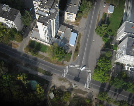
Processing of all types of aerial and satellite imagery; orthophotomapping; 3D digitizing services.

LAND SURVEY
Our services include survey, territorial monitoring, underground utility surveying and mapping, as well as the development of accurate CAD and GIS datasets.

HYDROGRAPHY
Hydrographic surveying services including depth measurements, bathymetric mapping, bottom relief modeling, and continuous monitoring of underwater quarries, reservoirs, riverbeds, and other dynamically changing underwater environments.

LIDAR PROCESSING
Point cloud calibration, automated and manual classification, quality control, and preparation of LiDAR datasets for mapping, engineering, and geospatial analysis.
Contact us for more information about services